


| Mountain Weather Report | |
|---|---|
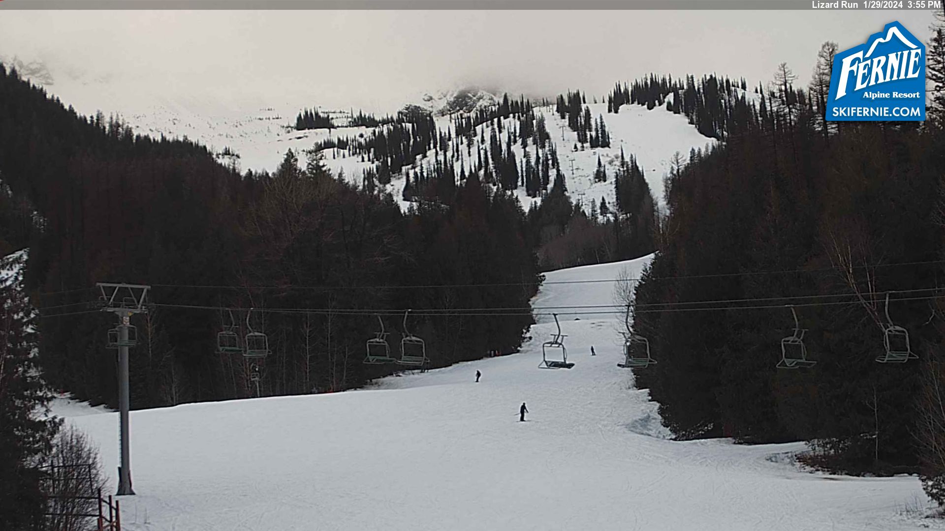
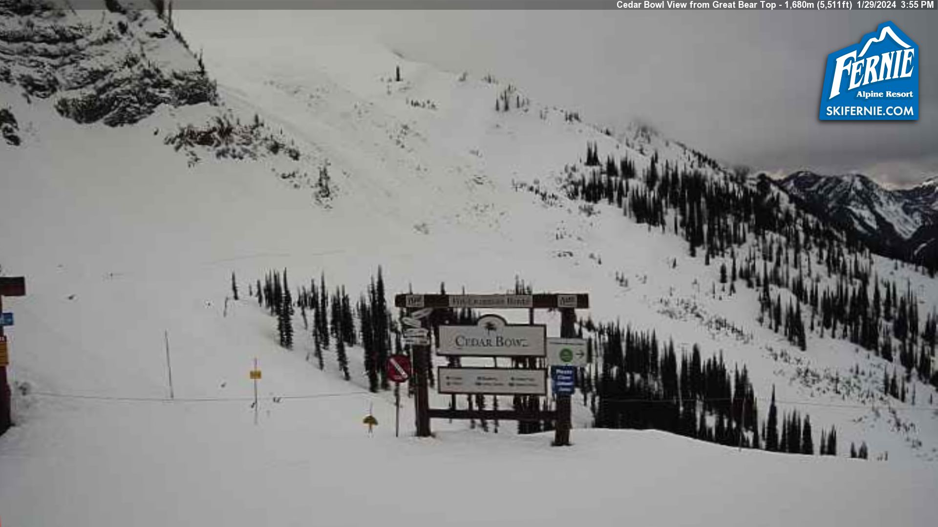
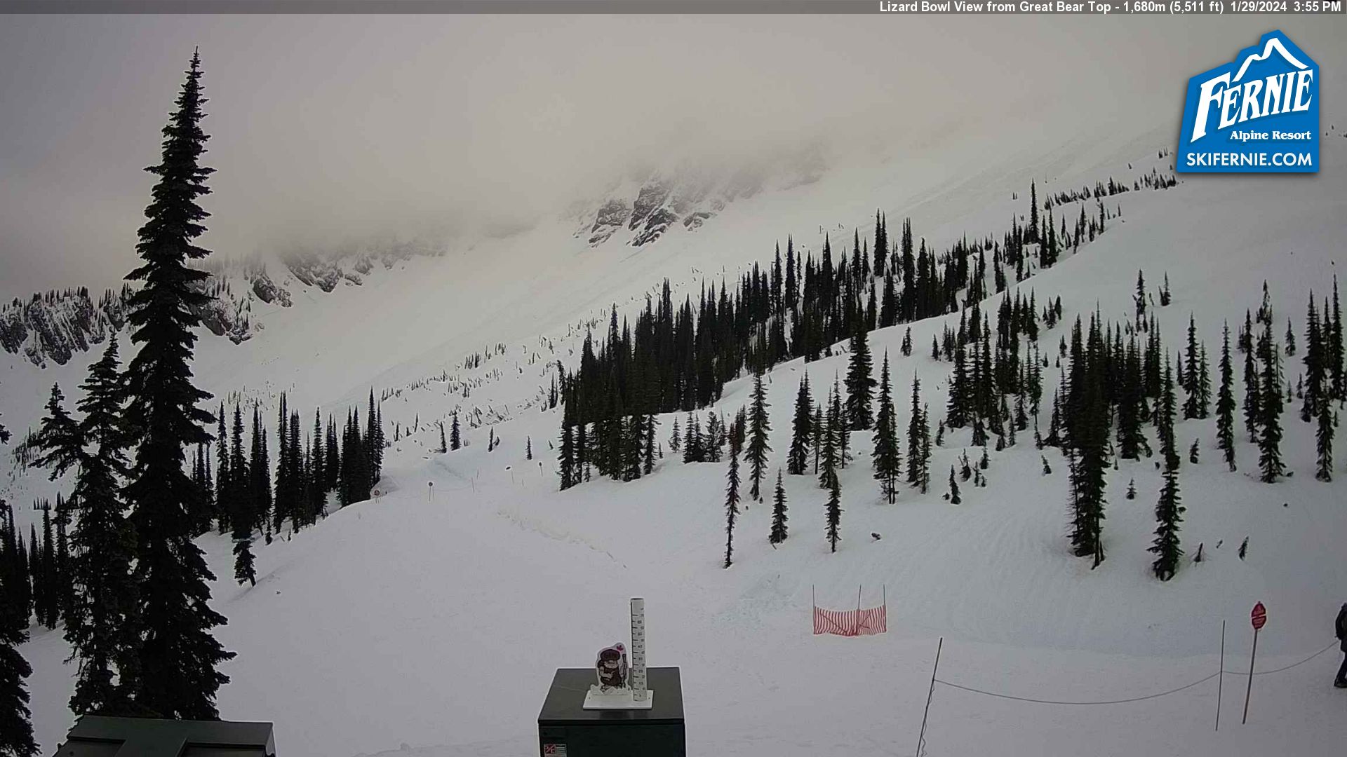
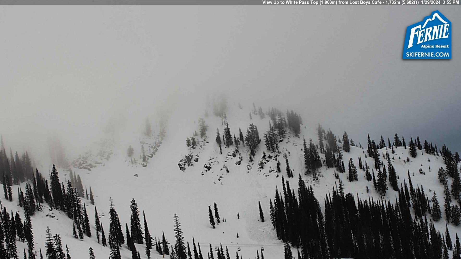
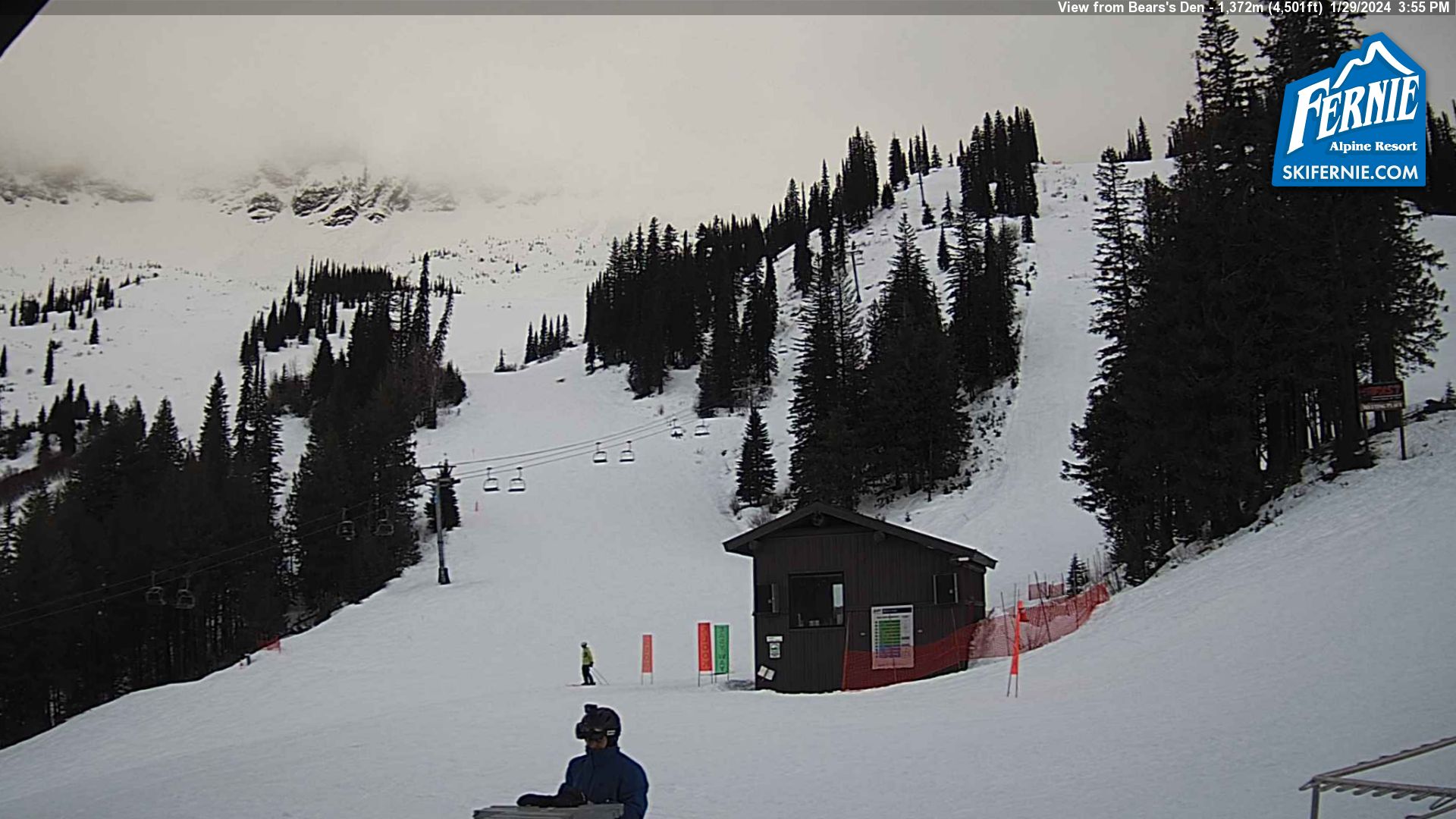
ISSUED: Monday January 29, 2024 11:00 MST SYNOPSIS: A moist southwesterly flow (between a large upper trough centred off the coast and a strong upper ridge of high pressure centred over or just east of the Rockies) and a stagnant low level airmass will allow for cloud, fog patches, patchy drizzle and the possibility of a few sunny/clear breaks today and tonight. Thicker cloud cover and increased wind are expected and there’s also a slight chance of light precipitation as a weak disturbance clips the area late overnight and early Tuesday. Mainly cloudy skies should persist Tuesday afternoon. The leading edge (warm front) of a large Pacific system increases the chance of light precipitation Tuesday night. Unseasonably mild temperatures will continue. FREEZING LEVEL: Rising to between 2700 & 3000 metres this afternoon. Trending lower (2300-2600 metres) tonight and Tuesday. FERNIE ALPINE RESORT FORECAST (1615 metres): TODAY: Cloudy with fog patches and drizzle, possible afternoon sunny breaks. High near 5. TONIGHT: Possible early evening clear breaks, otherwise cloudy with fog patches. Possible drizzle and a 40% chance of light rain overnight. Increasing wind overnight. Low 1 or 2. TUESDAY: Mainly cloudy with fog patches, possible drizzle and a 40% chance of light rain during the morning. Windy at times, more so during the morning. High near 5. TUESDAY NIGHT: Cloudy with fog patches and a 60% chance of light rain or wet flurries. Low 0 or 1. OUTLOOK: WEDNESDAY: Cloudy with fog patches and possible sunny breaks. 30% chance of light rain late in the day. Possibly windy at times. High near 4. 40% chance of light rain or wet flurries Wednesday night. Low near 0. THURSDAY: Mainly cloudy with fog patches. 40% chance of flurries during the morning, 60% chance of light rain late in the day. High 3 or 4. 60% chance of flurries Thursday night, minor accumulation possible. Low near 0. FRIDAY: Mainly cloudy with fog patches and a slight chance of wet flurries or light rain. High 2 or 3. Low 0 or -1. CONFIDENCE/DISCUSSION: Fair confidence. A deep temperature inversion and an excessively moist low level airmass favour low cloud and fog patches but theoretically high pressure could allow for limited clearing this afternoon and early evening. Light precipitation associated with the late tonight-early Tuesday disturbance is more likely to be confined north of Fernie. Some guidance also downplays the chance of precipitation Tuesday night. A large but weakening frontal system is expected to slowly push inland from the coast Wednesday through Thursday night. Most of the current computer models still confine the majority of its precipitation just west of Fernie but changes are possible. Theres’s also some uncertainty of the local temperatures and the snow level beginning Wednesday. A large upper low pressure slowly pushing toward the south coast suggests a gradual cooling trend beginning Wednesday or Thursday.
Ron Lakeman. | |
×
cm | cm |
cm | cm |
UPPER MOUNTAIN | |||
|
| ||
HIGH | LOW | ||
LOWER MOUNTAIN | |||
|
| ||
HIGH | LOW | ||
/ | 81 | |
GROOMED | ||
/ | 145 | |
OPEN | ||
| ||||
| ELK QUAD CHAIR: | ||||
| TIMBER EXPRESS: | ||||
| BUY LIFT TICKETS | ||||